Title : Bowman Fork Trail
link : Bowman Fork Trail
Bowman Fork Trail
The Bowman Fork Trail is located in Millcreek Canyon, and is popular for summiting Gobbler's Knob. I usually do this hike after work during the week and don't have time (or sometimes the energy!) to hike to the summit, so my goal is always White Fir Pass. I really like this trail in the summer months because it's really well shaded, cooler, and it follows a stream that the dogs and drink from and play in. In Winter, it's nice snowshoeing because you will hardly see anyone up here.
To White Fir Pass it's only 2 miles from the TH, a little further up the trail at 3 miles you will be at Baker Pass, then from there you can summit Gobbler's Knob. Most winter gates in the canyons open July 4th, so you'll have to walk up the road 1/2 mile before you even get to the Bowman Fork Trail. This area is popular in summer for families having picnics, as it is set off the main road. Here's a list of all the reservable picnic areas and how to make reservations.
From SLC, head East on I-80, then take I-215 south. Take the exit for 3900 S, then turn left at the light. Turn left at the light again on Wasatch Blvd. Drive 100 yards and turn Right into Millcreek Canyon. The Bowman Fork Trail starts 3.8 miles past the fee station at the gate called "Elbow Fork Terraces" on your right. Park across from the gate, then walk up to the TH area, which starts just above the restrooms to the left (restrooms aren't open until the winter gates open in July).
Distance: 5 miles RT (from the gate to White Fir Pass)
Elevation gain: 1,300 ft
Time: 2-3 hours
Dog friendly? Yes, dogs are allowed off leash on ODD days, and must be leashed on EVEN days.
Kid friendly? Yes
Here's the winter gate, and where you will start hiking. Park across the street.
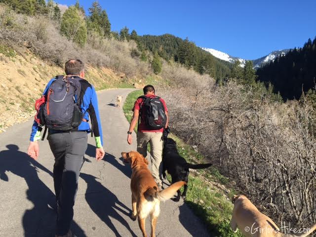
Walking up the paved road to the Bowman Fork Trail.
Official TH sign. About 100 ft up, the trail takes a sharp right turn. If you accidentally go straight, it will just take you down to the lower Elbow Fork Terraces picnic area.
Nice view of the still snowy, Mt. Raymond.
You will cross a total of 3 small bridges.
Bonnie races across bridge #2! We were all surprised at how much snow was still on the Bowman Fork Trail at the beginning of May.
Cutting through the snow. Thankfully it was packed down and a little slushy so I didn't need to use my microspikes.
After we started working our way up the side of the hill along the switchbacks, surprisingly the snow disappeared!
At White Fir Pass, our stopping point for this evening. You know you are there when you reach the ridge, and can see across to Mt. Raymond to the right, and Gobbler's Knob to the left.
Trail map looking East.
Trail map looking West.
Thus articles Bowman Fork Trail
that is all articles Bowman Fork Trail This time, hopefully can provide benefits to all of you. Okay, see you in another article posting.
You now read the article Bowman Fork Trail with the link address https://dating-site-69.blogspot.com/2016/05/bowman-fork-trail.html


0 Response to "Bowman Fork Trail"
Post a Comment